


Bare Earth digital Elevation Model (50cm)
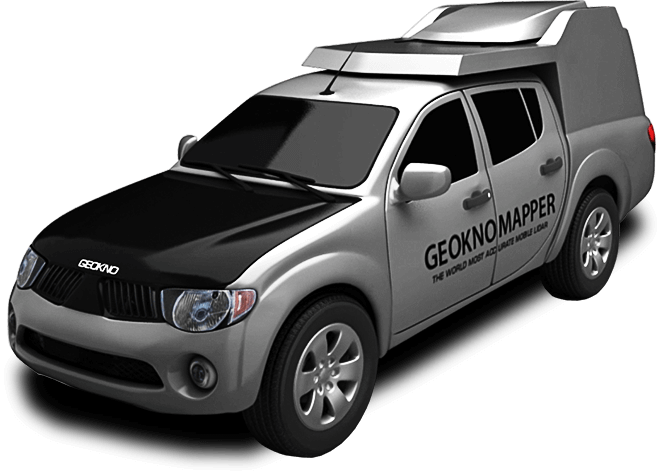
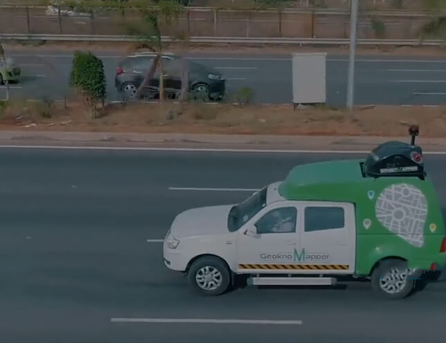
Mobile LiDAR
Delivering accurate data for complex infrastructures in fraction of a time
Delivering accurate data for complex infrastructures in fraction of a time
Mobile LiDAR integrates the LiDAR principles with advanced sensors to capture data over large surfaces overcoming the challenges of the static LiDAR. High-end mobile platforms help in an enhanced scanning and imaging of the surfaces collating accurate data with remote sensing that saves time and reduces the operational procedures.
We at Geokno have been one among the early adopters of mobile LiDAR in the country and own and operate the highest grade of mobile LiDAR scanners to conduct topographical surveys. Our team of data experts help with providing our clients with valuable projects reports and feasibility study reports by creating topographic maps, contours and cross-sections of the data collected. Backed by a stringent QC process, every project delivered by Geokno is ensured of stringent adherence to quality guidelines, leading to faster and accurate output.
Our Mobile Mapping solution focuses on feature extraction and includes the entire built environment and external assets from a range of feature classes like transport & traffic signage, street furniture, utility assets, vegetation and physical infrastructure delivering significant benefits to road and highway projects across the country.
200 km per day data capture captured per day
Range of 800 m on both sides
Data Accuracy of upto 2 cm
Bare Earth digital Elevation Model (50cm)
Digital Surface Model
Topographic Map (1:500)
Contour with interval of 30 cm
360° Panoramic Imagery


